


sorry its so rough but feedback is needed 🙂


I Apologize for the poor lighting ╥﹏╥
My map is of Green Lakes park which is known for its beach, trails, and golf course. 


 Here’s some icons to go with it
Heya, these are my sketches for the Map Project. I’ve attached the rough sketches and whatever I’ve started on Illustrator. Open to any comments, critiques and questions 🙂

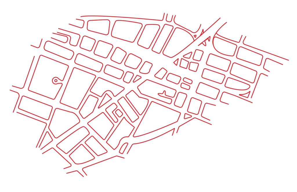
My Map is going to be a map of the business district/downtown Utica and its going to feature the main places/sights of downtown utica as well as restaurants and cafes to go to.


This is the Icon I’ll be using to mark out restaurants in this area.
Here is my sketching for the map and icons

So I have an idea for my icons and I’m basically just going to do filled in outlines of each animal they have and place them where they are located. And I will also do illustrations of important building such as gift shops and other buildings. This is just what I got done in class so I’ll post more later.


Please ignore the fact the icons aren’t on the actual map itself yet. I’ve been struggling to find a way to integrate them, so I plan on having an extra page, where each number correlates to that specific illustration. However, I did choose a color scheme, which I’m pretty happy with, and start to digitize the layout. I also managed to do two flower illustrations. I’ll be refining them a bit more, but this is what I have so far.

You must be logged in to post a comment.